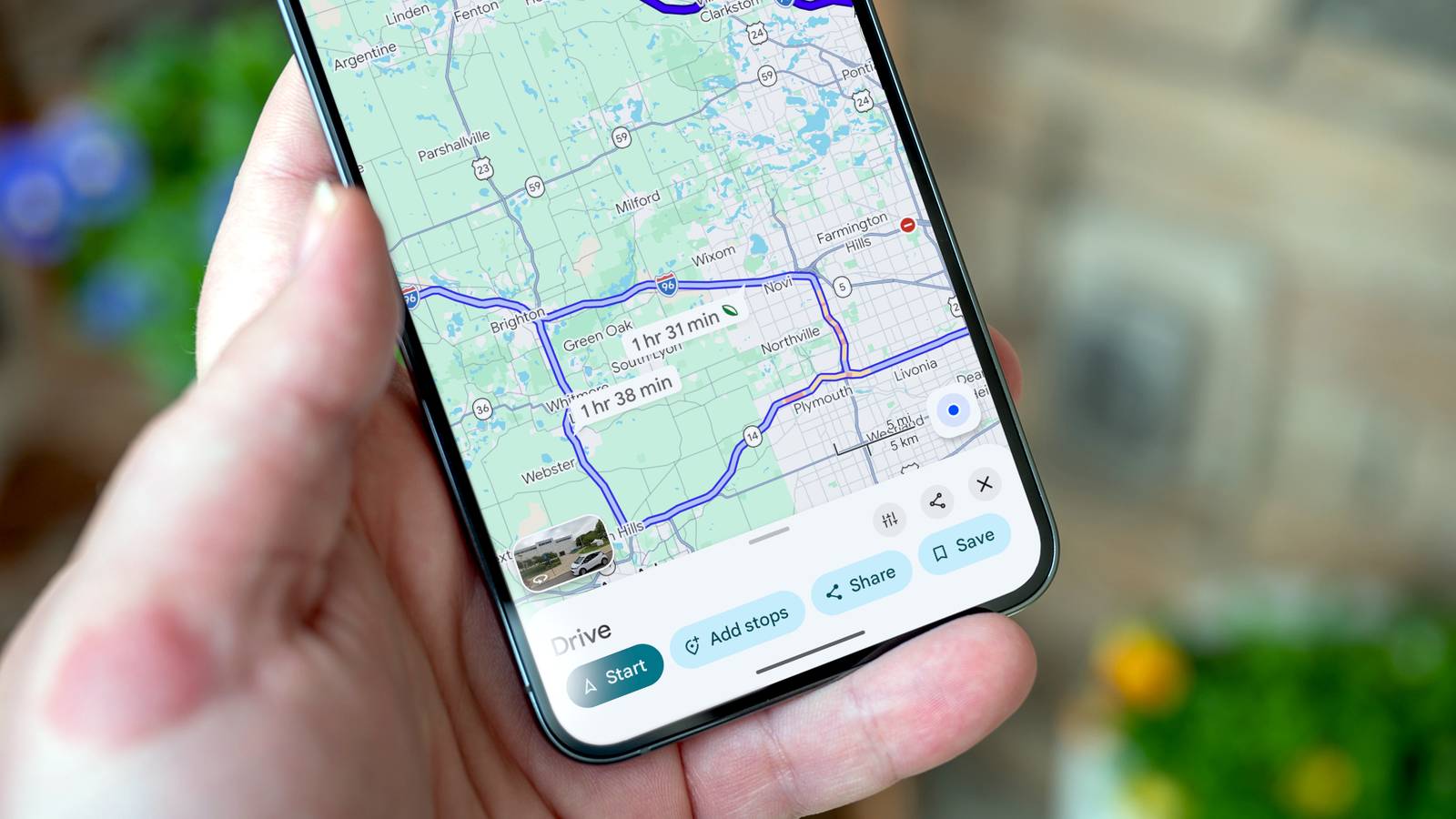
Google Maps has quietly evolved far beyond turn-by-turn directions.Buried in its settings and menus are tools that can change how you explore, navigate, and trust the places you visit.Here are three worth turning on.
Immersive View A photorealistic preview before you ever arrive Close Immersive View is Google's attempt to let you experience a location before you actually step foot in it.Using a combination of aerial imagery, street-level photos, and AI-powered rendering, it stitches together a photorealistic, three-dimensional model of a place that you can rotate, zoom into, and explore as if you were already walking through it.Instead of a flat satellite image or a handful of static photos, you get a fluid, navigable scene of restaurants, landmarks, and neighborhoods.
What makes it genuinely useful, rather than just a novelty, is the contextual layer sitting on top of the visuals.You can check how crowded a restaurant tends to be at a given hour, see the weather forecast for the day you plan to visit, or scrub through a time slider to see how a street looks at different times of day.Planning a dinner out becomes less of a guessing game when you can see whether a patio is shaded at sunset or how packed a bar gets on a Friday night.
Coverage is still expanding, so not every city has the full experience yet, but major metropolitan areas increasingly do.To use it, search for a place, tap on it, and look for the Immersive View option in the photos section or details pane.It works entirely within the app, no extra download required, though it does lean on a solid data connection since it's pulling in a lot of visual information in real time.
Live View AR Turning your camera into a walking compass Close Live View is the feature that finally solves the disorienting moment when you exit a subway station or parking garage and have no idea which direction you're actually facing.Instead of relying on a blue dot that can take a few seconds to catch up with your movement, Live View uses your phone's camera along with augmented reality markers overlaid on the real world.Arrows, street labels, and directional cues appear directly on your live camera feed, pointing you toward your destination.
It works by comparing what your camera sees to Google's Street View imagery and global positioning data, allowing it to pinpoint your exact orientation far more precisely than GPS alone.This matters most in places where GPS traditionally struggles, dense downtown cores with tall buildings, indoor transit hubs, or areas with confusing intersections where a standard map view leaves you guessing which way is north.To use it, start walking navigation for a destination, and when prompted, tap the Live View option, or lift your phone and follow the on-screen instruction to scan the street.
The app will ask you to point your camera at buildings and signage for a few seconds to orient itself before switching into the augmented view.It's not meant to replace the standard map for long walks or drives, since holding your phone up the entire time is impractical, but for those first disorienting minutes in an unfamiliar area, it removes almost all the guesswork.It's particularly handy for travelers navigating a foreign city for the first time, where street names might not be legible or intuitive.
Crowdsourced place details Real-time information straight from other users Close One of the most underrated parts of Google Maps isn't a flashy visual feature at all, but rather, it's the growing layer of crowdsourced information contributed by everyday users.Beyond the standard reviews and star ratings, Maps now surfaces specific, practical details that come directly from people who have recently visited a place: whether a restaurant has outdoor seating, if a store is wheelchair accessible, how busy a location typically gets at certain hours, or whether a business still matches its listed hours.This information shows up in a few different ways.
Popular times graphs, built from aggregated and anonymized location data, show you exactly when a place tends to be busiest throughout the day and week.Attribute tags, added by both business owners and regular users, cover specifics like Wi-Fi availability, parking situations, or whether a place is good for kids.And the Updates tab lets local contributors post short, timely notes, a road closure, a temporary menu change, a new entrance, that often reflect what's happening on the ground far more accurately than a business's official listing.
What makes this valuable is the sheer volume and constant refresh of the data.Because millions of users are contributing location signals and reviews continuously, the information tends to stay far more current than what a business might update on its own website.A restaurant might quietly change its closing time and forget to update its official page, but the crowdsourced data will often reflect the change within days based on real visit patterns.
You can lean into this system yourself by opting into Location History contributions and by leaving your own quick updates when you notice something has changed.The more people participate, the more reliable the whole system becomes, turning Maps into less of a static directory and more of a living, constantly corrected record of how places actually function day to day.Three tools hiding in plain sight Google Maps has grown into far more than a navigation app.
Immersive View, Live View AR, and crowdsourced details each solve a real problem, and together they make exploring unfamiliar places noticeably less stressful.
Read More